Allard, [Carel]
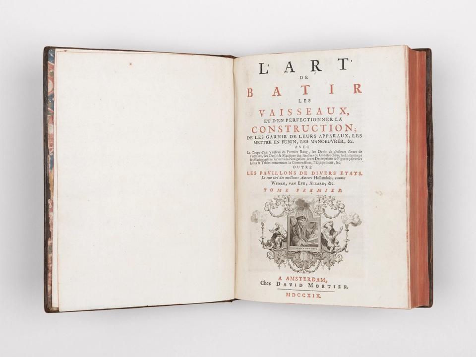
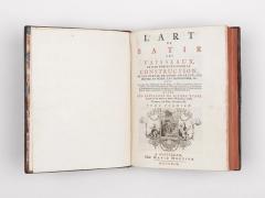
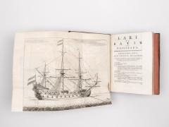
L’art de batir les vaisseaux et d’en perfectionner la construction.
David Mortier, Amsterdam, 1718–19
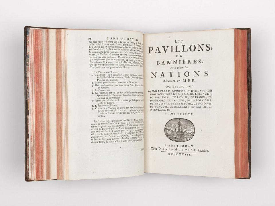
First edition in French of Allard‘s ‘Nieuwe Hollandse scheeps-bouw’, extended by chapters from the works of Witsen and van Eyk as well as Michelot’s ‘Le portulan de la mer méditerranée ou le vray guide des pilotes costiers’, dated 1709, bound in.
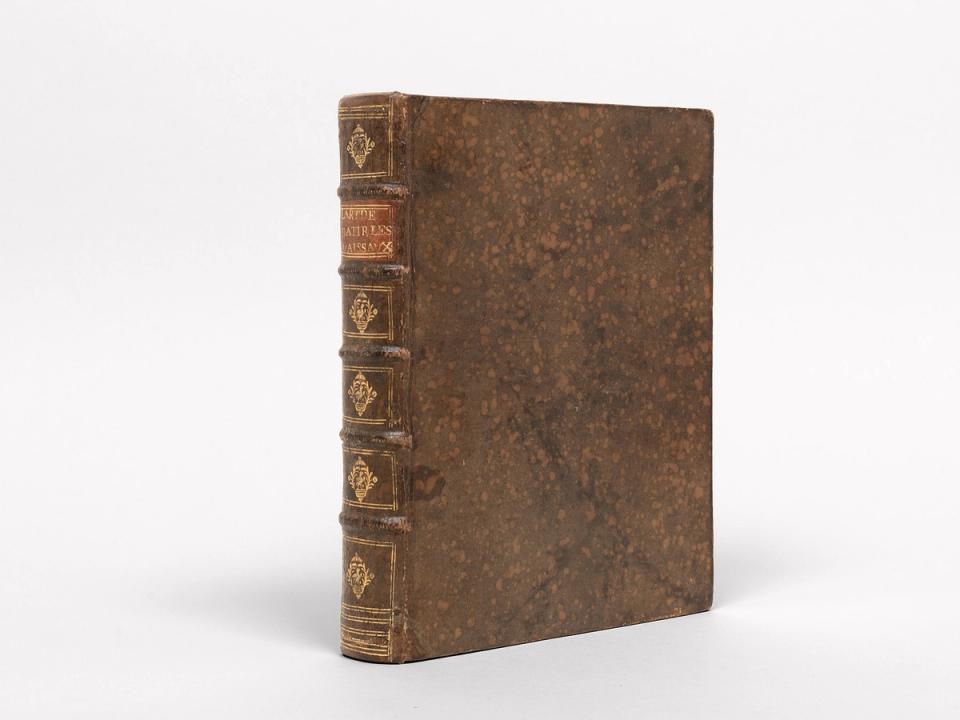
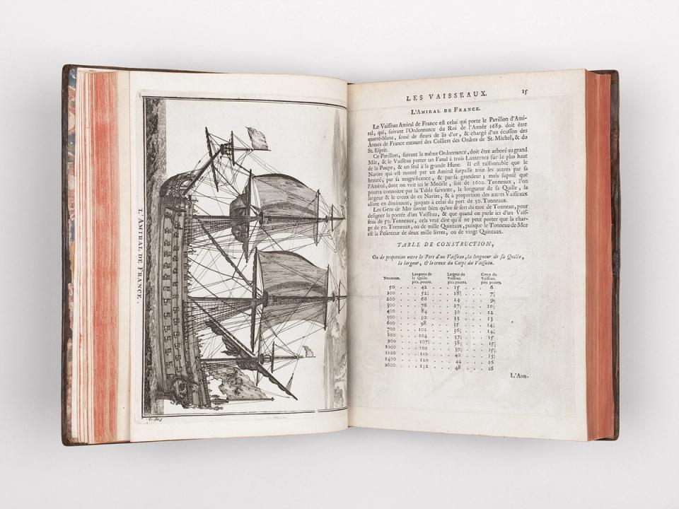
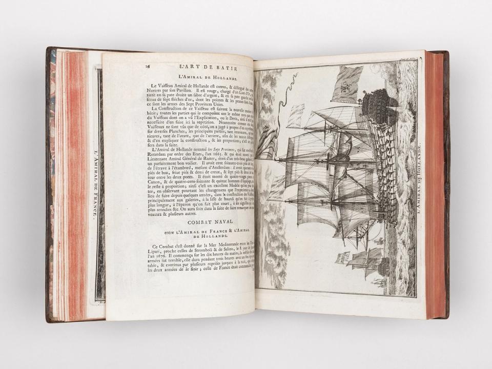
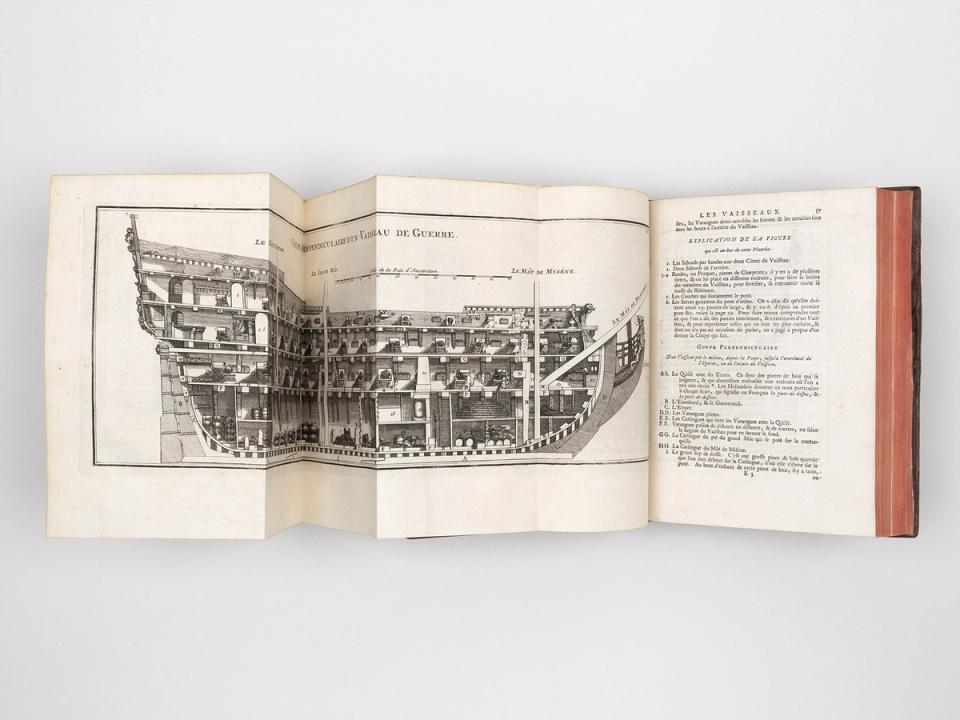
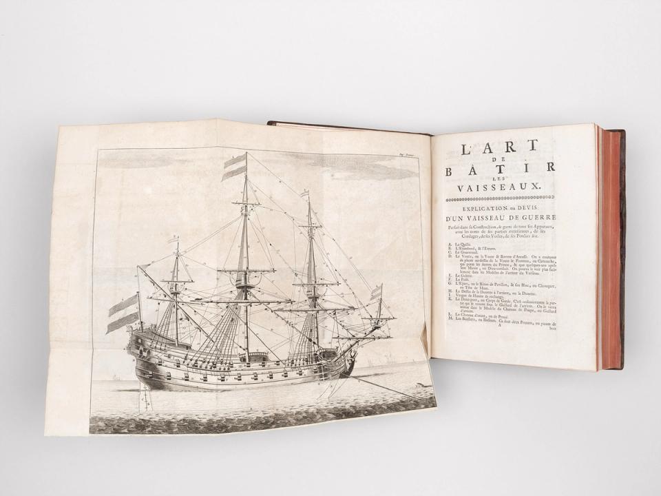
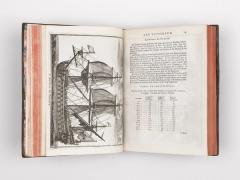
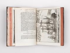
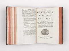
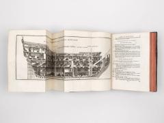
Description: 3 parts in 1 vol., contemporary marbled calf with decorative gilt roll to board edges, spine with raised bands and gilt in compartments, red morocco label lettered in gilt. Marbled endpapers. Quarto: 25 × 20 cm; pp.: [4], 82; [2], 94; [2], 1–24, 90ll. (plates with flags, no. 1–90) 91–101 (recte 103). Illustrations: p.1–2: 21 engraved plates, of which 5 are fold-outs and 34 in-text engravings; p.3: 90 engraved plates (flags) and 1 in-text engraving.
Bound with: Michelot, Henry: Le portulan de la mer méditerranée ou le vray guide des pilotes costiers. P. Mortier, Amsterdam, 1709. pp.: [8], 175. Illustrated with 1 engraved plate.
Provenance: Armorial bookplate of the Marquis de Noblet d’Anglure on the front pastedown.
Ref.: Polak 56, 9643 (dev. collation); Scheepvaart Mus. i/68
Condition: Binding in very good condition, with only a few minor shelf marks due to age. Contents largely clean and bright, with occasional light age toning and handling marks – plates somewhat more.
Notes: A richly illustrated work on the construction of ships and the flags of the seafaring nations. The plates show the different types of ships and the instruments used for navigation. Allard’s L’art de batir les vaisseaux dates from 1719 (parts 1 and 2). The third part, entitled Les pavillons, ou bannières, que la plûpart des nations arborent en mer, is dated 1718. The inserted work Le portulan de la mer méditerranée by Henry Michelot was an important navigational guide for the Mediterranean that was published regularly until the beginning of the 19th century. It was first printed in Marseille and Amsterdam in 1703. The maps mentioned in the title were not included in the work, but were published separately.
